Login
Star users
Poll
Home
>
United States
>
Ohio
>
Cuyahoga County
>
Cleveland Heights
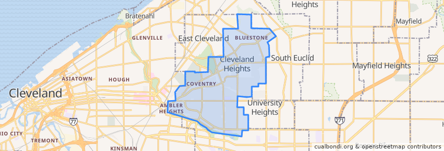
Cleveland Heights
See in interactive map
Routes of public transport
RTA 32 Cedar
RTA 37 East 175-Taylor
RTA 41F Warrensville (northbound)
RTA 41F Warrensville (southbound)
Stops
-81.56085080000001, 41.501388000000006
Mayfield - Warrensville
Mayfield - Warrensville
Mayfield - Warrensville
-81.56397650000001, 41.501174500000005
Mayfield - Warrensville
-81.55631410000001, 41.501245100000006
-81.56519580000001, 41.501166600000005
-81.56523030000001, 41.501347800000005
-81.5553304, 41.5014188
Points of interest
Fresh & Meaty Burgers
M. T. Glass
The Seafood Place Plus
Wendy's
The Social Room
Bruegger's Bagels
New Heights Grill
Subway
Irv's Sandwich Shop
A Dental TLC
Night Town
The Rib Cage
Best Gyros
Aladdin's Eatery
Richie Chan's
Bethel Baptist Church
Vero Bistro
Joey's Bistro Bar
Dewey's Pizza
Buffalo Wild Wings
Teresa's Pizza
Parnell's Pub
The Bottlehouse
Hope Evangelical Lutheran Church
Forest Hill Church of Christ
Barrio
Heights Animal Hospital
Noble Road Presbyterian Church
Pub on Lee
Irish Pub