Login
Usuarios estrella
Encuesta
Inicio
>
Estados Unidos de América
>
Ohio
>
Cuyahoga County
>
Cleveland Heights
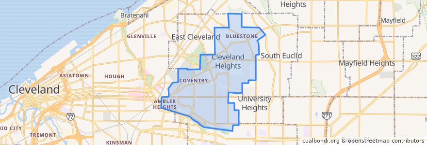
Cleveland Heights
Ver en mapa interactivo
Recorridos de transporte público
RTA 32 Cedar
RTA 37 East 175-Taylor
RTA 41F Warrensville (northbound)
RTA 41F Warrensville (southbound)
Paradas
-81.56085080000001, 41.501388000000006
Mayfield - Warrensville
-81.56523030000001, 41.501347800000005
Mayfield - Warrensville
-81.55631410000001, 41.501245100000006
-81.56519580000001, 41.501166600000005
Mayfield - Warrensville
-81.5553304, 41.5014188
-81.56397650000001, 41.501174500000005
Mayfield - Warrensville
Puntos de interés
Buffalo Wild Wings
Momo's Kebab
Cedar Hill School
India Community Center
Pizza BOGO
Golden Dragon
Parnell's Pub
Aladdin's Eatery
The Seafood Place Plus
Oak Tree Veterinary Hospital
Hope Evangelical Lutheran Church
A Dental TLC
Oak Tree Veterinary Hospital
Severance-Millikin School
Chase
Heights Arts
Barrio
Irish Pub
Subway
New Heights Grill
Forest Hill Church of Christ
Joey's Bistro Bar
Bethel Baptist Church
Dewey's Pizza
The Bottlehouse
The Fairmount
Bruegger's Bagels
Discovery Preschool
KFC
Anatolia Cafe