Login
Star users
Poll
Home
>
United States
>
Oklahoma
>
Oklahoma County
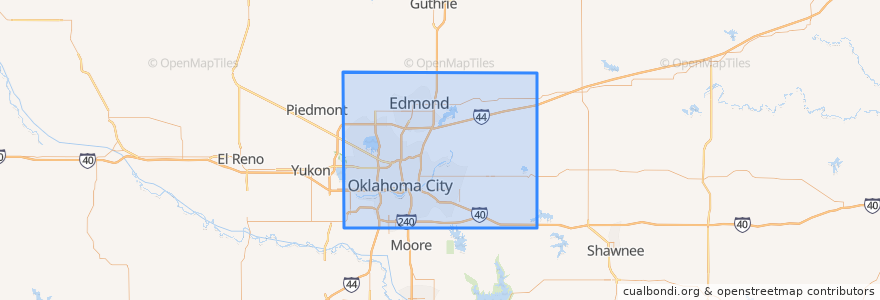
Oklahoma County
See in interactive map
Routes of public transport
003 - N KELLY
Amtrak Heartland Flyer: Oklahoma City => Fort Worth
CIRC
S WALKER
W RENO CROSSTOWN
Places
Arcadia
(0)
Bethany
(0)
Choctaw
(0)
Del City
(0)
Edmond
(0)
Forest Park
(0)
Harrah
(0)
Jones
(0)
Luther
(0)
Midwest City
(0)
Nichols Hills
(0)
Nicoma Park
(0)
Smith Village
(0)
Spencer
(0)
The Village
(0)
Valley Brook
(0)
Warr Acres
(0)
Stops
Oklahoma City
Points of interest
MidFirst Bank
The Cow Calf-Hay
The Village
Set Free Ministries Center
Grace Gospel Chapel
Springfield Church of God
Phillipine International Church
Del City
Hobby's Hoagies
Oklahoma
Subway
Templo de Albanza
Nichols Hills
Korean Church of the Nazarene
La Cueva Grill
Sacred Heart School
Oklahoma County
Banc First
Central Church
Chase
The Paramount
Bank of Oklahoma
Avis
Shields Boulevard Baptist Church
True Vine Southeast Mission
Harbor of Praise Church
Bank of America
Italian Express
Luther
Harmony Hill Tabernacle