وارد شدن
کاربران ستاره
نظرسنجی
شروع
>
ایالات متحده آمریکا
>
اکلاهما
>
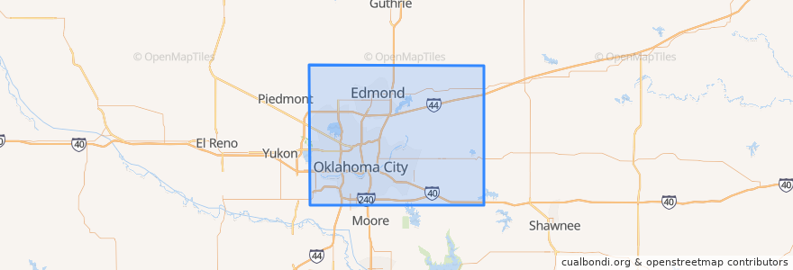
Oklahoma County
Oklahoma County
در نقشه تعاملی مشاهده کنید
مسیرهای حمل و نقل عمومی
003 - N KELLY
Amtrak Heartland Flyer: Oklahoma City => Fort Worth
CIRC
S WALKER
W RENO CROSSTOWN
اماکن
Arcadia
(0)
Bethany
(0)
Choctaw
(0)
Del City
(0)
Edmond
(0)
Forest Park
(0)
Harrah
(0)
Jones
(0)
Luther
(0)
Midwest City
(0)
Nichols Hills
(0)
Nicoma Park
(0)
Smith Village
(0)
Spencer
(0)
The Village
(0)
Valley Brook
(0)
Warr Acres
(0)
ایستگاه
Oklahoma City
نقاط مورد علاقه
Allegiance Credit Union
Happy House
New Harvest Church
Red Prime Steak
Little Flower Clinic (formerly school)
The Shartel Cafe Underground
Grace Gospel Chapel
The Paramount
Bank of Oklahoma
Kitchen 324
Spokies
Indian Avenue Southern Baptist Church
Jersey Mike's Subs
Nichols Hills
Bethany
Church in Oklahoma City
Crave
Harrah
China Queen Express
Old School Bagel Shop
Leaf + Bean
Chelinos Mexican Restaurant Bricktown
Hatch Early Mood Food
Capitol Hill United Methodist Church
The Buzz
Templo de Albanza
Nourished Food Bar
Luther
Fuzzy's Tacos
Subway