로그인
스타 사용자
투표
홈페이지
>
미국
>
오클라호마
>
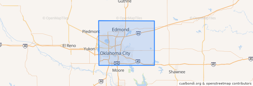
Oklahoma County
Oklahoma County
대화식지도에서보기
대중 교통 경로
003 - N KELLY
Amtrak Heartland Flyer: Oklahoma City => Fort Worth
CIRC
S WALKER
W RENO CROSSTOWN
장소
Arcadia
(0)
Bethany
(0)
Choctaw
(0)
Del City
(0)
Edmond
(0)
Forest Park
(0)
Harrah
(0)
Jones
(0)
Luther
(0)
Midwest City
(0)
Nichols Hills
(0)
Nicoma Park
(0)
Smith Village
(0)
Spencer
(0)
The Village
(0)
Valley Brook
(0)
Warr Acres
(0)
버스 정류장
Oklahoma City
가볼만한 곳
The Jones Assembly
Antioch Baptist Church
Capitol Hill High School
Capitol Hill Christian Church
Harrah
Italian Express
Bank of America
New Harvest Church
The Village
Old School Bagel Shop
Sacred Heart School
MidFirst Bank
Springfield Church of God
Chase
Fuzzy's Tacos
The Paramount
Subway
Jersey Mike's Subs
Leaf + Bean
Luther
Church in Oklahoma City
True Vine Southeast Mission
Oklahoma Indian Missionary Church
Spaghetti Warehouse
Crave
Park Harvey Sushi & Sports Lounge
Baptized Believers in the Word Church
Allegiance Credit Union
Yucatan Taco Stand Tequila Bar and Grill
Capitol Hill Church of God