Login
Star users
Poll
Home
>
United States
>
Oklahoma
>
Oklahoma County
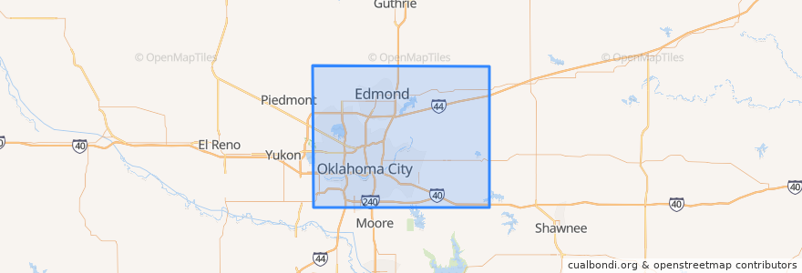
Oklahoma County
See in interactive map
Routes of public transport
003 - N KELLY
Amtrak Heartland Flyer: Oklahoma City => Fort Worth
CIRC
S WALKER
W RENO CROSSTOWN
Places
Arcadia
(0)
Bethany
(0)
Choctaw
(0)
Del City
(0)
Edmond
(0)
Forest Park
(0)
Harrah
(0)
Jones
(0)
Luther
(0)
Midwest City
(0)
Nichols Hills
(0)
Nicoma Park
(0)
Smith Village
(0)
Spencer
(0)
The Village
(0)
Valley Brook
(0)
Warr Acres
(0)
Stops
Oklahoma City
Points of interest
Nichols Hills
Red Prime Steak
Angie Smith Indian Methodist Church
Oklahoma
Midwest City
Allegiance Credit Union
Urban Johnnie Bar and Grille
Americas Pub
Forest Park
Spencer
The Paramount
The Buzz
Bethany
Cafe Mona
Jones
Factory Obscura Okc
Skinny Slim's
Springfield Church of God
Harmony Hill Tabernacle
Oklahoma Indian Missionary Church
Templo de Albanza
South Walker Church of Christ
Barrios Fine Mexican Dishes
Church in Oklahoma City
Nourished Food Bar
Museum Cafe
Ground Floor Cafe
Grace Gospel Chapel
The Jones Assembly
Harbor of Praise Church