Conecte-se
Usuários estrela
Pesquisa
Início
>
Estados Unidos da América
>
Oklahoma
>
Oklahoma County
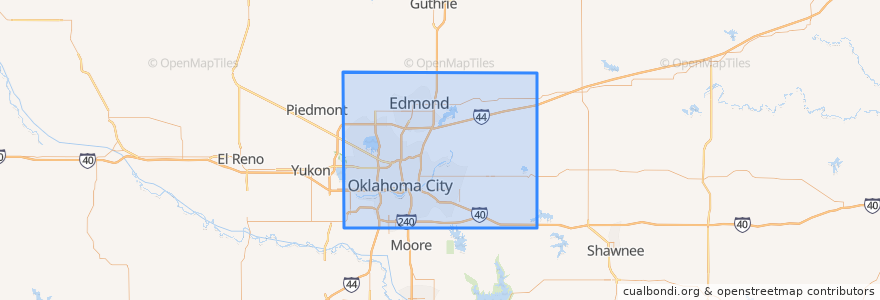
Oklahoma County
Veja no mapa interativo
Rotas de transporte público
003 - N KELLY
Amtrak Heartland Flyer: Oklahoma City => Fort Worth
CIRC
S WALKER
W RENO CROSSTOWN
Lugares
Arcadia
(0)
Bethany
(0)
Choctaw
(0)
Del City
(0)
Edmond
(0)
Forest Park
(0)
Harrah
(0)
Jones
(0)
Luther
(0)
Midwest City
(0)
Nichols Hills
(0)
Nicoma Park
(0)
Smith Village
(0)
Spencer
(0)
The Village
(0)
Valley Brook
(0)
Warr Acres
(0)
Paradas
Oklahoma City
Pontos de interesse
Allegiance Credit Union
Apostolic Faith Tabernacle
Lake Aluma
Trinity Church of the Nazarene
Avis
Set Free Ministries Center
The Shartel Cafe Underground
Oklahoma Indian Missionary Church
Shields Boulevard Baptist Church
Leaf + Bean
Harmony Hill Tabernacle
MidFirst Bank
Ground Floor Cafe
The Cow Calf-Hay
Sonic
The Village
Museum Cafe
Spaghetti Warehouse
South Lee United Methodist Church
Edmond
Chase
Western Hills Church
Woodlawn Park
Chelinos Mexican Restaurant Bricktown
Harrah
Nourished Food Bar
La Cueva Grill
The Jones Assembly
Yucatan Taco Stand Tequila Bar and Grill
South Walker Church of Christ