Login
Star users
Poll
Home
>
United States
>
Oklahoma
>
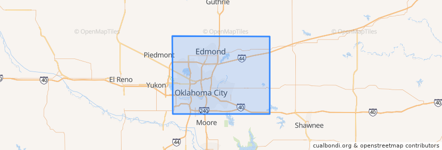
Oklahoma County
Oklahoma County
See in interactive map
Routes of public transport
003 - N KELLY
Amtrak Heartland Flyer: Oklahoma City => Fort Worth
CIRC
S WALKER
W RENO CROSSTOWN
Places
Arcadia
(0)
Bethany
(0)
Choctaw
(0)
Del City
(0)
Edmond
(0)
Forest Park
(0)
Harrah
(0)
Jones
(0)
Luther
(0)
Midwest City
(0)
Nichols Hills
(0)
Nicoma Park
(0)
Smith Village
(0)
Spencer
(0)
The Village
(0)
Valley Brook
(0)
Warr Acres
(0)
Stops
Oklahoma City
Points of interest
Set Free Ministries Center
Hatch Early Mood Food
United Pentecostal Church South
Chase
Yucatan Taco Stand Tequila Bar and Grill
Avis
Allegiance Credit Union
Jones
Factory Obscura Okc
Harbor of Praise Church
Phillipine International Church
Western Hills Church
Chelinos Mexican Restaurant Bricktown
Arcadia
Leaf + Bean
Nicoma Park
Choctaw
Americas Pub
Revival of Faith
Central Church
The Village
Valley Brook
Coffee Slingers
Panda Express
South Walker Church of Christ
Angie Smith Indian Methodist Church
Noble Theater
nebu
Trinity Church of the Nazarene
Oklahoma City