Log masuk
Pengguna bintang
Undian
Laman utama
>
Amerika Syarikat
>
Oklahoma
>
Oklahoma County
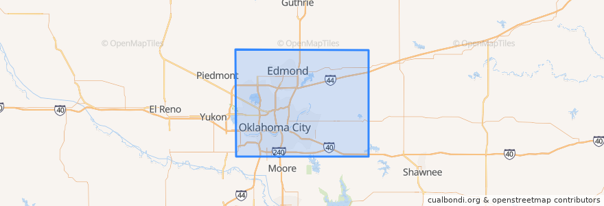
Oklahoma County
Lihat di peta interaktif
Laluan pengangkutan awam
003 - N KELLY
Amtrak Heartland Flyer: Oklahoma City => Fort Worth
CIRC
S WALKER
W RENO CROSSTOWN
Tempat
Arcadia
(0)
Bethany
(0)
Choctaw
(0)
Del City
(0)
Edmond
(0)
Forest Park
(0)
Harrah
(0)
Jones
(0)
Luther
(0)
Midwest City
(0)
Nichols Hills
(0)
Nicoma Park
(0)
Smith Village
(0)
Spencer
(0)
The Village
(0)
Valley Brook
(0)
Warr Acres
(0)
Perhentian
Oklahoma City
Tempat menarik
Hatch Early Mood Food
Bank of America
Church in Oklahoma City
Valley Brook
Nicoma Park
Factory Obscura Okc
Noble Theater
Indian Avenue Southern Baptist Church
Capitol Hill Christian Church
Spokies
Jersey Mike's Subs
Central Church
Richey's
Harmony Hill Tabernacle
The Jones Assembly
South Lee United Methodist Church
Antioch Baptist Church
Chase
Capitol Hill United Methodist Church
Americas Pub
MidFirst Bank
Western Hills Church
Chelinos Mexican Restaurant Bricktown
Fuzzy's Tacos
Revival of Faith
Set Free Ministries Center
Baptized Believers in the Word Church
Grace Gospel Chapel
Urban Johnnie Bar and Grille
Warr Acres