Login
Usuarios estrella
Encuesta
Inicio
>
Estados Unidos de América
>
Nuevo Hampshire
>
Grafton County
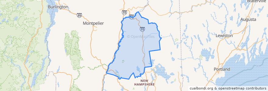
Grafton County
Ver en mapa interactivo
Recorridos de transporte público
Hobo Railroad
Lugares
Lincoln
(1)
Thornton
(1)
Woodstock
(1)
Alexandria
(0)
Ashland
(0)
Bath
(0)
Benton
(0)
Bethlehem
(0)
Bridgewater
(0)
Bristol
(0)
Campton
(0)
Canaan
(0)
Dorchester
(0)
Easton
(0)
Ellsworth
(0)
Enfield
(0)
Franconia
(0)
Grafton
(0)
Groton
(0)
Hanover
(0)
Haverhill
(0)
Hebron
(0)
Holderness
(0)
Landaff
(0)
Lebanon
(0)
Lisbon
(0)
Littleton
(0)
Livermore
(0)
Lyman
(0)
Lyme
(0)
Monroe
(0)
Orange
(0)
Orford
(0)
Piermont
(0)
Plymouth
(0)
Rumney
(0)
Sugar Hill
(0)
Warren
(0)
Waterville Valley
(0)
Wentworth
(0)
Paradas
-71.6784437, 44.040381200000006
-71.6777256, 44.039728100000005
Puntos de interés
Woodstock
Ashland
Ellsworth
Grafton County
Pemi Valley Church
Enfield
Bath
Hebron
Lyman
Rumney
Monroe
Bristol
Warren
Landaff
Plymouth
Waterville Valley
Groton
Sugar Hill
Dorchester
Canaan
Bethlehem
Hanover
Franconia
Piermont
Bridgewater
Lyme
Thornton
Lebanon
Holderness
Wentworth