Login
Star users
Poll
Home
>
Australia
>
New South Wales
>
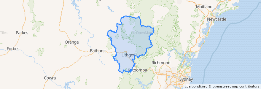
Lithgow City Council
Lithgow City Council
See in interactive map
Routes of public transport
Blue Mountains Line
Blue Mountains Line
Broken Hill Xplorer
Broken Hill Xplorer
Dubbo XPT
Dubbo XPT
Main Western Line
Train Indian Pacific
Train Indian Pacific
Stops
Lithgow, Platform 2
Lithgow, Platform 1
Zig Zag, Platform 1
Zig Zag, Platform 2
Rydal
Tarana
Points of interest
The Fast Fox
Wang Pizza and Diner
Wallerawang Library
Commercial Hotel
Western Sydney University - Lithgow Campus
Subway
St Patrick's Catholic Church
Lithgow Palace Chinese Restaurant
Ochre Health Medical Centre
Smiles to you Lithgow Denture Clinic
Daintree Lane
Lithgow Police Station
Hopes Pharmacy
Bowenfels Post Office
Western Institute of TAFE
Lithgow Takeaway
Coffee On Mort
Lithgow Dental
Commercial Hotel
Lithgow Library
Frankie's Restaurant & Bar Lithgow
Blue Sky Restaurant
Eskbank Surgery
Hometown Cafe
Tattersalls Hotel
Station Expresso
Onelia's Place
Westpac
Patiala Shahi
The Lithgow Tin Shed