Ouverture de session
Utilisateurs étoile
Sondage
Accueil
>
Australie
>
Nouvelle Galles du Sud
>
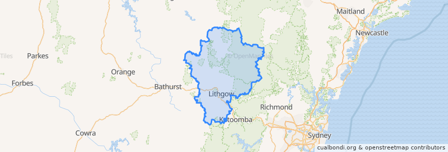
Lithgow City Council
Lithgow City Council
Voir sur la carte interactive
Itinéraires des transports publics
Blue Mountains Line
Blue Mountains Line
Broken Hill Xplorer
Broken Hill Xplorer
Dubbo XPT
Dubbo XPT
Main Western Line
Train Indian Pacific
Train Indian Pacific
Arrêts
Zig Zag, Platform 1
Lithgow, Platform 1
Lithgow, Platform 2
Rydal
Tarana
Zig Zag, Platform 2
Points d'interêts
Lithgow Palace Chinese Restaurant
Ochre Health Medical Centre
JO’s crossing
Subway
Lithgow Library
Enhance
Hometown Cafe
Noi's Thai Restaurant
Wallerawang Service Station
Red Rooster
Western Sydney University - Lithgow Campus
Lithgow Dental
Memory Lane Bistro
The Lithgow Tin Shed
SIXT
Rydal Library
Wallerawang Police Station
Pied Piper Preschool
Lansdowne Hotel
Bluebird Cafe
Telstra
Coffee On Mort
Crib Room Restaurant
MOVE-FM
Frankie's Restaurant & Bar Lithgow
Vanilla Cafe
Rydal Union Church
Daintree Lane
Lithgow Police Station
Wallerawang Library