Login
Star users
Poll
Home
>
Australia
>
New South Wales
>
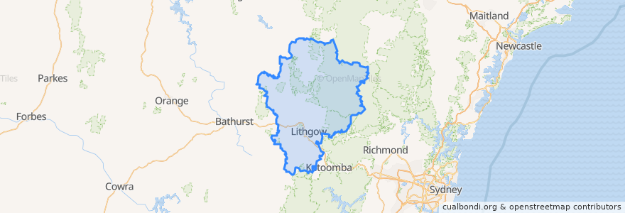
Lithgow City Council
Lithgow City Council
See in interactive map
Routes of public transport
Blue Mountains Line
Blue Mountains Line
Broken Hill Xplorer
Broken Hill Xplorer
Dubbo XPT
Dubbo XPT
Main Western Line
Train Indian Pacific
Train Indian Pacific
Stops
Zig Zag, Platform 2
Tarana
Lithgow, Platform 2
Lithgow, Platform 1
Rydal
Zig Zag, Platform 1
Points of interest
Noi's Thai Restaurant
Western Institute of TAFE
Monkey Creek Cafe
Wellness Dental
Commercial Hotel Motel
Vanilla Cafe
Burger Bites
Hopes Pharmacy
Rink 9 Restaurant
Memory Lane Bistro
Sacred Heart Catholic Church
Subway
Coffee On Mort
St Patrick's Catholic Church
Commonwealth Bank
Pizza Hut
Blue Sky Restaurant
Crib Room Restaurant
Heritage Cafe
NAB
Wallerawang CWA
Lithgow Dental
Commercial Hotel
Rydal Union Church
Lithgow Palace Chinese Restaurant
St Paul's Anglican Church
Wallerawang Library
Lithgow Takeaway
Eskbank Surgery
Emerald Lantern Chinese Restaurant