تسجيل الدخول
مستخدمي ستار
تصويت
الصفحة الرئيسية
>
أستراليا
>
نيوساوث ويلز
>
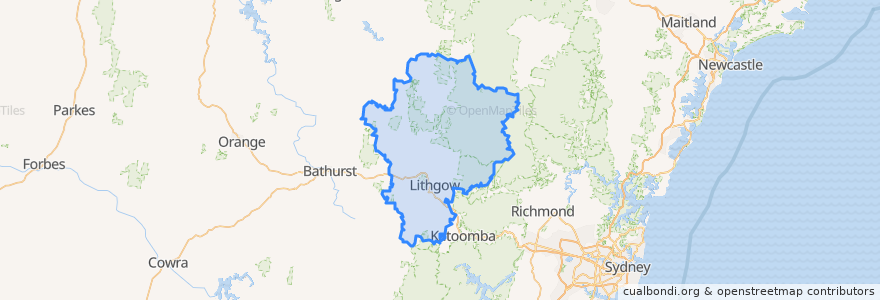
Lithgow City Council
Lithgow City Council
انظر في الخريطة التفاعلية
طرق النقل العام
Blue Mountains Line
Blue Mountains Line
Broken Hill Xplorer
Broken Hill Xplorer
Dubbo XPT
Dubbo XPT
Main Western Line
Train Indian Pacific
Train Indian Pacific
موقف
Lithgow, Platform 1
Zig Zag, Platform 2
Rydal
Lithgow, Platform 2
Tarana
Zig Zag, Platform 1
مجالات الاهتمام
Wallerawang CWA
Enhance
Wallerawang Bakery Cafe
Frankie's Restaurant & Bar Lithgow
Noi's Thai Restaurant
SIXT
Mobil
MOVE-FM
Lithgow City Council
Lithgow Palace Chinese Restaurant
Western Sydney University - Lithgow Campus
Foodworks
Pied Piper Preschool
Lithgow City Council
NAB
Dougherty's Pharmacy
Domino's
Hoskins Uniting Church
Commonwealth Bank
Bluebird Cafe
Crib Room Restaurant
Lithgow Police Station
Wang Pizza and Diner
Western Institute of TAFE
The Fast Fox
Bowenfels Post Office
Red Rooster
Rink 9 Restaurant
Ochre Health Medical Centre
Lithgow Post Office