وارد شدن
کاربران ستاره
نظرسنجی
شروع
>
استرالیا
>
New South Wales
>
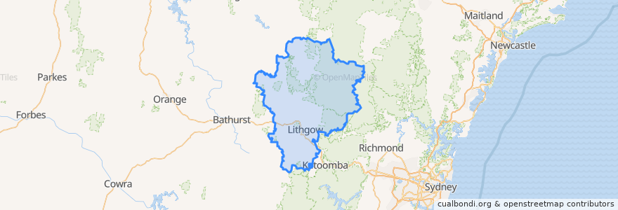
Lithgow City Council
Lithgow City Council
در نقشه تعاملی مشاهده کنید
مسیرهای حمل و نقل عمومی
Blue Mountains Line
Blue Mountains Line
Broken Hill Xplorer
Broken Hill Xplorer
Dubbo XPT
Dubbo XPT
Main Western Line
Train Indian Pacific
Train Indian Pacific
ایستگاه
Lithgow, Platform 2
Tarana
Lithgow, Platform 1
Zig Zag, Platform 2
Zig Zag, Platform 1
Rydal
نقاط مورد علاقه
Wallerawang Police Station
Crib Room Restaurant
Wallerawang Bakery Cafe
Bushman's Restaurant
Station Expresso
Lithgow Dental
Dougherty's Pharmacy
Lithgow Police Station
Lithgow City Council
The Lithgow Tin Shed
Lithgow Golf Club Bistro
Smiles to you Lithgow Denture Clinic
United Marrangaroo
Wallerawang / Starlight Chinese Restaurant
Blue Sky Restaurant
Daintree Lane
Coffee On Mort
The Workies Bistro
Vanilla Cafe
Lithgow Post Office
Wallerawang Library
Commercial Hotel
Lithgow Library
Foodworks
Red Rooster
Westpac
Rydal Union Church
Heritage Cafe
Hopes Pharmacy
Lithgow City Council