Log masuk
Pengguna bintang
Undian
Laman utama
>
Australia
>
New South Wales
>
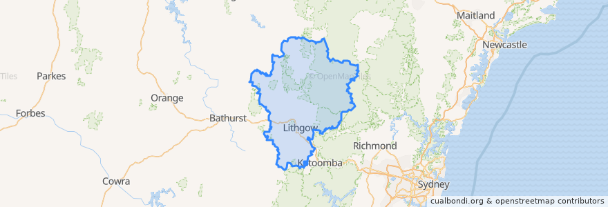
Lithgow City Council
Lithgow City Council
Lihat di peta interaktif
Laluan pengangkutan awam
Blue Mountains Line
Blue Mountains Line
Broken Hill Xplorer
Broken Hill Xplorer
Dubbo XPT
Dubbo XPT
Main Western Line
Train Indian Pacific
Train Indian Pacific
Perhentian
Lithgow, Platform 1
Zig Zag, Platform 2
Zig Zag, Platform 1
Tarana
Lithgow, Platform 2
Rydal
Tempat menarik
Royal Hotel / Top Pub
Rydal Library
Smiles to you Lithgow Denture Clinic
Subway
Wallerawang Service Station
Court House Hotel
Foodworks
St Patrick's Catholic Church
Lithgow Takeaway
Crib Room Restaurant
Sacred Heart Catholic Church
Burger Bites
Memory Lane Bistro
Hopes Pharmacy
Wallerawang Library
Ochre Health Medical Centre
Tattersalls Hotel
Gumnut Childcare Centre
Hoskins Uniting Church
Bowenfels Post Office
St Paul's Anglican Church
Noi's Thai Restaurant
Lithgow City Council
Commercial Hotel Motel
Rydal Union Church
Dougherty's Pharmacy
Lithgow Golf Club Bistro
Enhance
Mid Town Fuels
Red Rooster