로그인
스타 사용자
투표
홈페이지
>
오스트레일리아
>
New South Wales
>
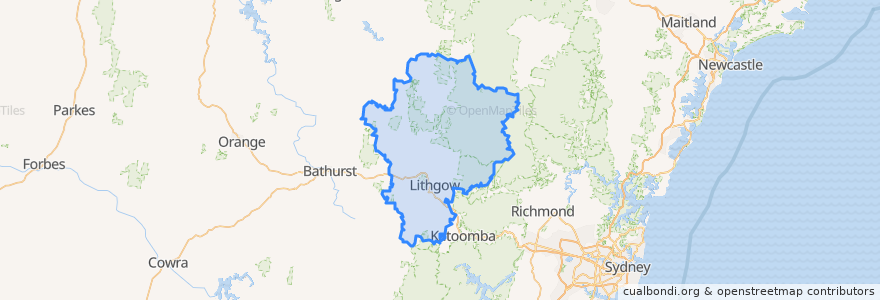
Lithgow City Council
Lithgow City Council
대화식지도에서보기
대중 교통 경로
Blue Mountains Line
Blue Mountains Line
Broken Hill Xplorer
Broken Hill Xplorer
Dubbo XPT
Dubbo XPT
Main Western Line
Train Indian Pacific
Train Indian Pacific
버스 정류장
Lithgow, Platform 2
Zig Zag, Platform 2
Lithgow, Platform 1
Zig Zag, Platform 1
Rydal
Tarana
가볼만한 곳
Wallerawang Police Station
Lithgow Hotel
Lithgow Post Office
The Workies Bistro
St Patrick's Catholic Church
Memory Lane Bistro
Frankie's Restaurant & Bar Lithgow
Wallerawang / Starlight Chinese Restaurant
Hungry Jack's
st.george
Heritage Cafe
Patiala Shahi
Hoskins Uniting Church
Foodworks
Wellness Dental
Wallerawang Bakery Cafe
Hometown Cafe
Noi's Thai Restaurant
Commercial Hotel
Red Rooster
Commercial Hotel Motel
Mid Town Fuels
The Lithgow Tin Shed
Crib Room Restaurant
Vanilla Cafe
Wallerawang Advantage Pharmacy
Western Institute of TAFE
Lithgow Veterinary Hospital
Emerald Lantern Chinese Restaurant
Club Lithgow