Login
Usuarios estrella
Encuesta
Inicio
>
Sri Lanka
>
Provincia Occidental
>
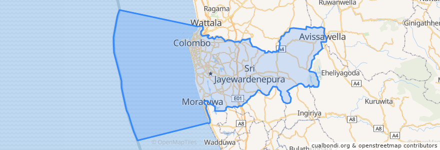
Colombo District
Colombo District
Ver en mapa interactivo
Recorridos de transporte público
103 Fort Borella
103 Fort Narahenpita
122 Avissawella
122 Colombo Avissawella
138, Kadawatha Colombo Fort
168 Nugegoda Kotahena
176 Karagampitiya Hettiyawatte
190 Meegoda Pettah
993 Maharagama Malabe
Avissawella - Panawala Road
Bus 101
Coastal Line
Godagama
Gothatuwa - Pettah
Kegalle
Kelani Valley Line
Kelani Valley Line
Kohilawththa - Kollupitiya
Mt. Lavinia - Bakery Junction
Wellawatte → Narahenpita
Lugares
Colombo
(11)
Paradas
Kirulapona
Narahenpita
Kirulapona Market
Manning Place halt
Nugegoda
Baseline Road
Nawinna
79.8662319, 6.8767474
Malapalla
79.87685570000001, 6.8861631
Udahamulla
Maradana
Pannipitiya
Cotta Road
79.87688270000001, 6.8877192
Kottawa
Sigma
Pamankada Halt
Maharagama
Randeniya Car Accessories
Colombo Fort
Narahenpita
Puntos de interés
BOC
Ricorn Hotels & Bakery
Commercial Bank of Ceylon
Bank of Ceylon
NSB
Statue of Lord Buddha
Post Office Slave Island
H N B
Champion slice
Pan Asia Bank Malabe
Monsoon Colombo
Bojunka
Fort Jumma Mosque
KFC
Jumma Masjid
Iole of Gelato
Sampath Bank
BOC
Lobster Seafood
St. Mary's Girls' School
Thalahena
Domino's
Sudunelum Pura Buddha Statue
People's Bank
Kande Viharaya
Peoples Bank ATM
Thalangama Depot
HSBC
British College of Applied Studies
People's Bank