Login
Usuarios estrella
Encuesta
Inicio
>
Nueva Zelanda
>
Wellington
>
Lower Hutt City
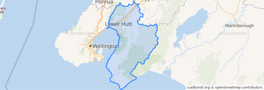
Lower Hutt City
Ver en mapa interactivo
Recorridos de transporte público
Hutt Valley Line: Upper Hutt => Wellington
Hutt Valley Line: Wellington => Upper Hutt
Melling Line: Melling => Wellington
Melling Line: Wellington => Melling
Wairarapa Connection: Masterton => Wellington
Wairarapa Connection: Wellington => Masterton
Paradas
Ava
Epuni
Waterloo
Ava
Waterloo
Pomare
Woburn
Taitā
Manor Park
Manor Park
Petone
Woburn
Naenae
Epuni
Melling
Western Hutt
Wingate
Wingate
Taitā
Naenae
Pomare
Petone
Puntos de interés
Moby Dick’s fish&chips
Bawarchi Khana
charge.net.nz Pak'nSave Petone
Boutique Hair
Moera Gospel Chapel
Z Petone - Service Station
Caltex
BP Taita
Lower Hutt City
Chomp n chips
Hutt Repertory Theatre
Workshop Cafe
Sal's Pizza
Pita Pit
Trade In Kitchen
BP Waiwhetu
Melling Stn Bike Stands
Pizza Land
Care Vets
Waterloo Bookshop & Post
Z Hutt Road
Mei's takeaway
Barnardos
The Warehouse Petone EV Charger
Wild Bean Cafe
Motown
Wellington Mail Centre Box Lobby
Hutt City Fire Station
Riverbank market
Zany Zeus