Login
Star users
Poll
Home
>
United States
>
Colorado
>
Larimer County
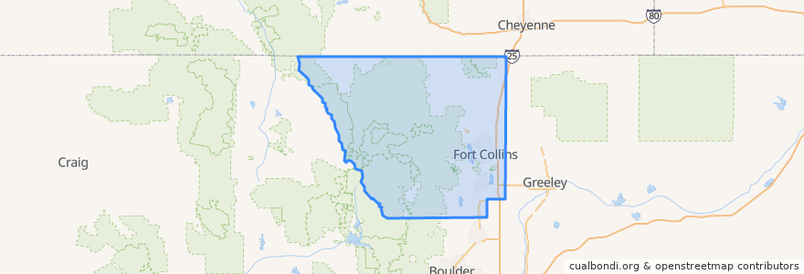
Larimer County
See in interactive map
Routes of public transport
12 NB
14 EB
16 EB
18 SB
19 SB
32 Loop
33 EB
33 WB
34 NB
Places
Fort Collins
(9)
Berthoud
(0)
Berthoud
(0)
Estes Park
(0)
Estes Park
(0)
Estes Park
(0)
Laporte
(0)
Loveland
(0)
Loveland
(0)
Timnath
(0)
Wellington
(0)
Wellington
(0)
Stops
Horsetooth & Automation
Horsetooth & JFK
Prospect Parkway & Midpoint
Midpoint Drive
Horsetooth & MAX
Elizabeth & Skyline
Lincoln & 2nd Street
Frontage and Dawn
Stover & Elizabeth
Harmony & Shields
Elizabeth and Taft Hill
Harmony & Hinsdale
Horsetooth & Stover
Harmony & Timberline
Jefferson & Linden
Prospect & Robertson
Prospect & Stover
Elizabeth and Skyline
Prospect & Riverside
Rams Village East
Elizabeth & Taft Hill
Ziegler & Harmony
Prospect & Taft Hill
Shields & Rocky Mountain
Prospect and Cedarwood
Prospect & Robertson
Elizabeth & Whedbee
Prospect Parkway & Midpoint
Horsetooth & Stover
Lincoln & Air Park
Points of interest
ATA Family Martial Arts
The Kitchen
Shell
Stifel Nicolaus
Cafe Ardour
Ryan's Sports Bar & Grill
7-Eleven
Honey Baked Ham
Pueblo Viejo
Beau Jo's Pizza
Mad Greens
McAlister's Deli
Subway
Suehrio Sushi
FedEx
Equinox Brewing
DC Oakes Brew House
Cafe Bluebird
Ohana Bowls Acai Cafe
Ding Tea
The Forge Publick House
Scrumpy's
Barton Early Childhood Center
Loveland
Tecate Grill
Five Guys
Hunan Chinese Restaurant
Qdoba
Pack @n Mail
Shell