로그인
스타 사용자
투표
홈페이지
>
미국
>
콜로라도
>
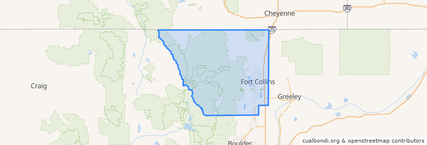
Larimer County
Larimer County
대화식지도에서보기
대중 교통 경로
12 NB
14 EB
16 EB
18 SB
19 SB
32 Loop
33 EB
33 WB
34 NB
장소
Fort Collins
(9)
Berthoud
(0)
Berthoud
(0)
Estes Park
(0)
Estes Park
(0)
Estes Park
(0)
Laporte
(0)
Loveland
(0)
Loveland
(0)
Timnath
(0)
Wellington
(0)
Wellington
(0)
버스 정류장
Overland & Golden Currant
Meridian and University
College & Harmony
Elizabeth and Constitution
Pitkin & CSU
Prospect and Heatheridge
Prospect & Riverside
Shields & Drake
John Deere and Frontage
Prospect & Taft Hill
Prospect & Robertson
Harmony & Lemay
Harmony & Taft Hill
-105.1088237, 40.5674012
Route 18
Frontage and Dawn
-105.0770985, 40.590132600000004
Elizabeth and King Soopers
Sharp Point & March
Shields & Troutman
College & Laporte
Prospect & Lemay
Harmony & Starflower
Elizabeth & City Park
-105.11620860000001, 40.574761200000005
Elizabeth & Timber
Elizabeth and Taft Hill
Jefferson & Lemay
Horsetooth & Lochwood
Taft Hill & Westfield
가볼만한 곳
Shell
Ward Orthadontist
Lamar's Donuts
Noodles & Company
Stifel Nicolaus
Five Guys
RARE Italian
Choice City Wings
JeJu
Rocky Mountain Bagel
Subway
Foco Doco
Ace Gillett's Lounge
Library - Council Tree Branch
CopperMuse Distillery
Bank of Colorado
Austin's
The Twisted Noodle
Cheba Hut
Old Chicago's - South
Little Free Library
Steakout Saloon
Red Robin
Pueblo Viejo
Great Western Bank
Taekwondo
Cold Stone Creamery
Safeway Pharmacy
Rita's Italian Ice
Redbox