Login
Star users
Poll
Home
>
United States
>
Colorado
>
Larimer County
>
Fort Collins
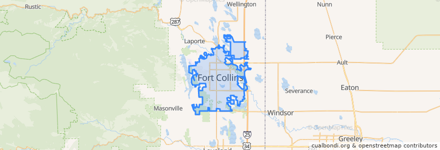
Fort Collins
See in interactive map
Routes of public transport
12 NB
14 EB
16 EB
18 SB
19 SB
32 Loop
33 EB
33 WB
34 NB
Stops
Horsetooth & Kingsley
Shields & Centre
Prospect Parkway & Midpoint
-105.1339351, 40.5761714
Shields & Rocky Mountain
Shields & Elizabeth
Horsetooth & Manhattan
Rock Creek & Technology
Prospect & Constitution
Harmony & Seneca
Prospect & Larch
Ziegler & Harmony
Elizabeth & Overland
Shields & Rolland Moore Park
Shields & Troutman
Sharp Point & March
Shields & Rolland Moore Park
Elizabeth & Constitution
Harmony & Mason
Elizabeth and City Park
Route 18
Plum & Bluebell
Horsetooth & Mason
Laurel & Washington
Harmony & Hinsdale
Horsetooth & Caribou
Lady Moon & Rock Creek
Elizabeth & Glenmoor
Whedbee & Mulberry
Elizabeth and Skyline
Points of interest
Axis International Academy Elementary School
Panera Bread
Good Times
Safeway Pharmacy
Tony's
Fuzzy's Tacos
Fort Collins Dental Group
Subway
Tap and Handle
Spring Creek Dental
Jason's Deli
Prost Brewing
Kruse Elementary School
Cold Stone Creamery
Berry Blendz
King Soopers Pharmacy
Front Range Dental
Equinox Brewing
Ding Tea
Starbucks
Larimer County Farmers Market
Hearing Rehab Center
Pablo's Pizza
Ohana Bowls Acai Cafe
The Yeti
Old Chicago's - South
Hunan Chinese Restaurant
First Watch
Great West Bank
RARE Italian