Login
Star users
Poll
Home
>
United States
>
Colorado
>
Larimer County
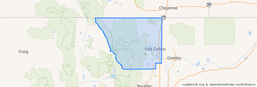
Larimer County
See in interactive map
Routes of public transport
12 NB
14 EB
16 EB
18 SB
19 SB
32 Loop
33 EB
33 WB
34 NB
Places
Fort Collins
(9)
Berthoud
(0)
Berthoud
(0)
Estes Park
(0)
Estes Park
(0)
Estes Park
(0)
Laporte
(0)
Loveland
(0)
Loveland
(0)
Timnath
(0)
Wellington
(0)
Wellington
(0)
Stops
Horsetooth & Lemay
John Deere and Frontage
Shields & Springfield
Rampart & ERL
Horsetooth & Kunz
Midpoint & Larimer County Detention Center
Harmony & Hinsdale
Prospect & Taft Hill
Harmony & Boardwalk
-105.09029050000001, 40.576429000000005
Overland & Golden Currant
Lincoln & South Link
Prospect & Larch
Elizabeth and Taft Hill
Elizabeth & Hillcrest
Lady Moon & Harmony
Harmony & Imperial
Harmony & Seneca
Prospect and Larch
College & Oak
Harmony & Silvergate
CSU Foothills Campus
Sharp Point
Frontage and Summit View
Horsetooth & Mason
Harmony & Hinsdale
Harmony & Hinsdale
Harmony & Timberline
-105.0947744, 40.5764658
Shields & Centre
Points of interest
Moe's Original Bar B Que
Starbucks
Cozzola's Pizza
Dairy Queen
Sherpa Grill 2
Hu-Hot Mongolian Grill
Everyday Joe's Coffee House
Tecate Grill
Honey Baked Ham
Subway
Bann Thai
Town Pump
Berthoud
Dazbog Coffee
Cafe Ardour
Pizza Hut
McAlister's Deli
Backporch Cafe
The Rio Grande Restaurant
Momo Lolo Coffee House
Cafe Rio
Silvermine Subs
Casa de Los Amigos
Metered Parking
ChargePoint
Fort Collins
Ace Gillett's Lounge
The Kitchen
Jason's Deli
Cosmo's Pizza