Login
Star users
Poll
Home
>
United States
>
Colorado
>
Larimer County
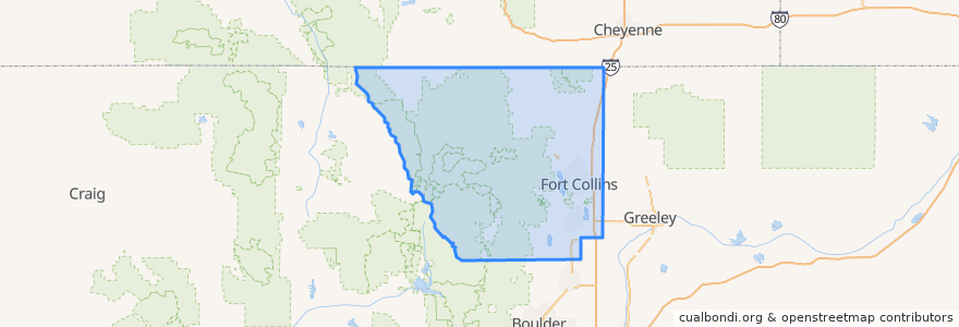
Larimer County
See in interactive map
Routes of public transport
12 NB
14 EB
16 EB
18 SB
19 SB
32 Loop
33 EB
33 WB
34 NB
Places
Fort Collins
(9)
Berthoud
(0)
Berthoud
(0)
Estes Park
(0)
Estes Park
(0)
Estes Park
(0)
Laporte
(0)
Loveland
(0)
Loveland
(0)
Timnath
(0)
Wellington
(0)
Wellington
(0)
Stops
Harmony & Mason
Elizabeth & Overland
Shields & Centre
Harmony & Boardwalk
Horsetooth & Caribou
Elizabeth and Glenmoor
Horsetooth & Tradition
Shields & Elizabeth
Lincoln & Airway
Harmony & Lemay
College & Maple
Shields & Casa Grande
Prospect & Overland
Rams Village East
Lady Moon & Harmony
Prospect & Fuqua
Shields & Prospect
Stover & Elizabeth
Jefferson & Linden
Laurel & Washington
Prospect & Cedarwood
Horsetooth & Timberline
Prospect & Lemay
Horsetooth & Tradition
Shields & Stuart
Harmony & Mason
Midpoint & Larimer County Detention Center
-105.09029050000001, 40.576429000000005
Harmony & Imperial
Shields & Lake
Points of interest
Safeway Pharmacy
Loveland
McAlister's Deli
Beijing Noodle
Subway
Tasty Harmony
Fort Collins High School
The Trailhead
Chipotle
Colorado Early Colleges - West Middle School
First Watch
Simply Thai
West End Pub
Jim's Wings
The Crown Pub
Noodles & Company
Elliot's Martini Bar
East Moon Asian Bistro
Moe's Original Bar B Que
Elevations Credit Union
CopperMuse Distillery
Front Range Dental
Tap and Handle
Angie Lee Periodontics
Tokyo Joe's
Steven Tucker, DDS
Bann Thai
Library - Council Tree Branch
USPS
La Piadina