Conecte-se
Usuários estrela
Pesquisa
Início
>
Estados Unidos da América
>
Colorado
>
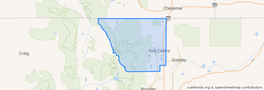
Larimer County
Larimer County
Veja no mapa interativo
Rotas de transporte público
12 NB
14 EB
16 EB
18 SB
19 SB
32 Loop
33 EB
33 WB
34 NB
Lugares
Fort Collins
(9)
Berthoud
(0)
Berthoud
(0)
Estes Park
(0)
Estes Park
(0)
Estes Park
(0)
Laporte
(0)
Loveland
(0)
Loveland
(0)
Timnath
(0)
Wellington
(0)
Wellington
(0)
Paradas
Elizabeth & Constitution
Prospect and Overland
Olive & Peterson
Sharp Point
Harmony & Poudre Valley Hospital
Harmony & Seneca
Horsetooth & Tradition
Elizabeth & Overland
Shields & Lake
Taft Hill & Westfield
(Bus 31, 32, 33, Horn)
Rock Creek & Ziegler
Harmony & Mason
Midpoint & Larimer County Detention Center
Harmony & Boardwalk
Routes 32, 33
-105.0770985, 40.590132600000004
Harmony & Wheaton
Harmony & Taft Hill
Horsetooth & Kingsley
Lincoln & Lincoln Court
Meridian and University
Horsetooth & Taft Hill
(Bus 2, 31, 33, Horn)
Shields & Wabash
Ziegler & Harmony
Elizabeth & Kimball
East Lincoln
Prospect and Cedarwood
Harmony & Mason
Pontos de interesse
Snooze
Poudre Fire Authority
First Watch
Animal Hospital
LuLu Asian Bistro
Purple Cup Cafe
Jason's Deli
Axis International Academy Elementary School
Tecate Grill
Starbucks
Tasty Harmony
Cheba Hut
Which Wich?
Pulcinella Pizzeria
Pueblo Viejo
Barking Beagle's Little Free Library
Loveland
Tararine Thai
Friendship Hospital for Animals
Bank of Colorado
Great West Bank
The Bean Cycle
Safeway
Domino's
Mugs Coffee Lounge
Backporch Cafe
Cafe Ardour
Shell
Immersion Dance Center
Fuzzy's Tacos