وارد شدن
کاربران ستاره
نظرسنجی
شروع
>
ایالات متحده آمریکا
>
Colorado
>
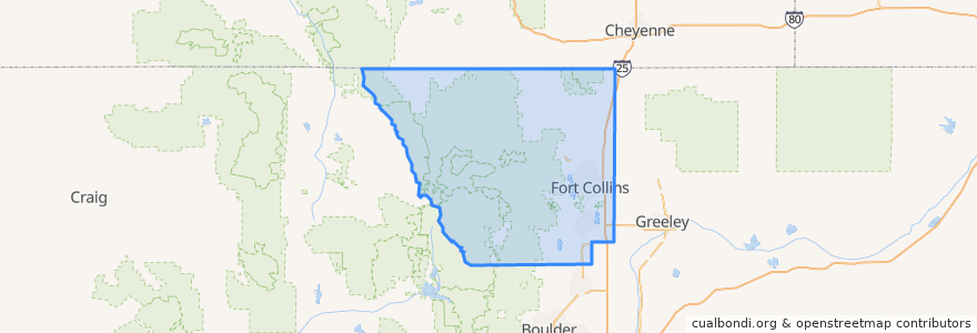
Larimer County
Larimer County
در نقشه تعاملی مشاهده کنید
مسیرهای حمل و نقل عمومی
12 NB
14 EB
16 EB
18 SB
19 SB
32 Loop
33 EB
33 WB
34 NB
اماکن
Fort Collins
(9)
Berthoud
(0)
Berthoud
(0)
Estes Park
(0)
Estes Park
(0)
Estes Park
(0)
Laporte
(0)
Loveland
(0)
Loveland
(0)
Timnath
(0)
Wellington
(0)
Wellington
(0)
ایستگاه
Elizabeth & Whedbee
Lincoln & 2nd Street
Prospect & Heatheridge
Harmony & Silvergate
-105.1339351, 40.5761714
Elizabeth & Constitution
Elizabeth and Skyline
Pitkin & CSU
College & LaPorte
Elizabeth & Whedbee
College & Laporte
Elizabeth and City Park
Shields & Wabash
Horsetooth & Timberline
Lincoln & Airway
Plum & Bluebell
Harmony & McMurray
College & Oak
Harmony & Wheaton
Lincoln & South Link
Elizabeth and Timber
-105.09892140000001, 40.5672755
Harmony & Timberline
Sharp Point
Elizabeth and Constitution
Rock Creek & Technology
Route 18
Harmony & Hinsdale
Horsetooth & Caribou
Harmony & Wheaton
نقاط مورد علاقه
Tecate Grill
Larimer County Farmers Market
Fort Collins High School
Spoons
Cafe Athens
Fort Collins Police - Downtown
Doug's Day Diner
Schrader's Country Store
Mulnix Animal Clinic
Subway
Good Times
Barton Early Childhood Center
Steakout Saloon
Ramskeller
Little Caesars
Mama Roni's Pizza
Smashburger
Mugs Coffee Lounge
Poudre Fire Authority
Shell
Suehiro
Shell
Silver Mine Subs
Axis International Academy Elementary School
Starbucks
Affordable Dentures & Implants
Blackjack Pizza
Safeway Pharmacy
Jimmy John's
Walgreens