Login
Star users
Poll
Home
>
United States
>
Colorado
>
Larimer County
>
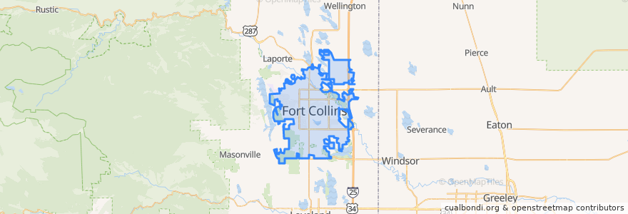
Fort Collins
Fort Collins
See in interactive map
Routes of public transport
12 NB
14 EB
16 EB
18 SB
19 SB
32 Loop
33 EB
33 WB
34 NB
Stops
Meridian & South Drive
-105.09029050000001, 40.576429000000005
(Bus 2, 31, 33, Horn)
Horsetooth & MAX
Elizabeth & Overland
Horsetooth & Kunz
Laurel & Washington
Horsetooth & Taft Hill
Rock Creek & Technology
College & Laporte
Harmony & Imperial
Harmony & Boardwalk
Olive & Peterson
Prospect and Heatheridge
Jefferson & Lemay
Elizabeth and Skyline
Horsetooth & MAX
Whedbee & Mulberry
Shields & Troutman
Route 32
Prospect & Stover
Jefferson & Lemay
Horsetooth & Mason
Harmony & McMurray
Shields & Rocky Mountain
-105.13380020000001, 40.5761857
College & Harmony
Routes 32, 33
Horsetooth & Tradition
-105.0770985, 40.590132600000004
Points of interest
Angie Lee Periodontics
Cozzola's Pizza
Dazbog Coffee
Fiona's Delicatessen
Schrader's Country Store
Cafe Bluebird
Five Guys
Fuzzy's Tacos
Beau Jo's Pizza
Steven Tucker, DDS
Elevations Credit Union
Riffenburgh Elementary School
Starbucks
College Avenue Modern Dental
The Bar District
Good Times
Slyce Pizza Co.
Rita's Italian Ice
Choice City Butcher and Deli
Tap and Handle
Walgreens
7-Eleven
Spoons
Fort Collins
Colorado Early Colleges - West Middle School
Equinox Brewing
Pulcinella Pizzeria
East Moon Asian Bistro
Honey Baked Ham
Taekwondo