وارد شدن
کاربران ستاره
نظرسنجی
شروع
>
ایالات متحده آمریکا
>
Colorado
>
Larimer County
>
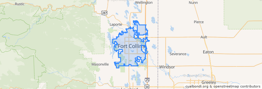
Fort Collins
Fort Collins
در نقشه تعاملی مشاهده کنید
مسیرهای حمل و نقل عمومی
12 NB
14 EB
16 EB
18 SB
19 SB
32 Loop
33 EB
33 WB
34 NB
ایستگاه
Horsetooth & Tradition
Horsetooth & Taft Hill
Shields & Stuart
Constitution & Elizabeth
Prospect & Taft Hill
(Bus 31, 32, 33)
Shields & Prospect
Horsetooth & Mason
Prospect & Lemay
East Lincoln
Elizabeth & Timber
Harmony & Delany
Horsetooth & Dunbar
Horsetooth & Lochwood
Prospect & Shields
Lady Moon & Harmony
Horsetooth & Kunz
Harmony & Mason
Prospect & Skyline
Prospect & Constitution
Harmony & Timberline
Lady Moon & Rock Creek
Harmony & Seneca
Prospect & Prospect Parkway
Shields & Rolland Moore Park
(Bus 31, 32, 33, Horn)
Harmony & Silvergate
Sharp Point & March
Elizabeth & Kimball
Harmony & Starflower
نقاط مورد علاقه
Tokyo Joe's
Cosmo's Pizza
Chipotle
Steakout Saloon
Green Light Cafe
Campus West Connections
Fort Collins Police - Downtown
First National Bank
East Moon Asian Bistro
Kruse Elementary School
Wells Fargo
Vatos tacos & tequilla
The Crown Pub
The Crooked Cup
Jim's Wings
Simmer
Spooners
Starbucks
Dazbog Coffee
CopperMuse Distillery
The Still Whiskey Steaks
First Watch
Urgent Care - Harmony Campus
Cafe Rio
Five Guys
Banner Urgent Care
First Tech Credit Union
Barking Beagle's Little Free Library
Subway
Shell