로그인
스타 사용자
투표
홈페이지
>
미국
>
콜로라도
>
Larimer County
>
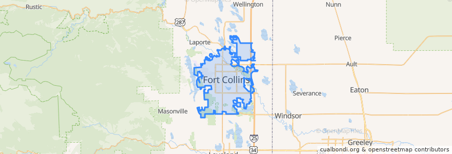
Fort Collins
Fort Collins
대화식지도에서보기
대중 교통 경로
12 NB
14 EB
16 EB
18 SB
19 SB
32 Loop
33 EB
33 WB
34 NB
버스 정류장
Prospect Parkway & Midpoint
Shields & Elizabeth
Elizabeth & Overland
Elizabeth & Glenmoor
Shields & Lake
College & Harmony
Rams Village East
Elizabeth and Glenmoor
Harmony & Starflower
Harmony & Hinsdale
Shields & Horsetooth
-105.1060059, 40.5756706
Elizabeth & Timber
Shields & Wabash
Prospect & Stover
Shields & Horsetooth
Horsetooth & Shields
Horsetooth & Dunbar
Prospect & Stover
Horsetooth & Kunz
Prospect & Lemay
Whedbee & Laurel
Sharp Point & March
Harmony & Delany
-105.09029050000001, 40.576429000000005
Harmony & Regency
Harmony & Mason
Elizabeth and Skyline
(Bus 31, 32, 33)
Elizabeth and Taft Hill
가볼만한 곳
Domenic's Bistro & Wine Bar
ChargePoint
Schrader's Country Store
Redbox
Shell
Great West Bank
East Moon Asian Bistro
Foco Doco
Chipotle
Fort Collins
The Kitchen
Subway
Beau Jo's Pizza
Yum Yum's
Dairy Queen
Hearing Rehab Center
Cold Stone Creamery
Mama Roni's
Scrumpy's
Advantage Bank
Tom+Chee
Corner Store Express
Subway
Obee's
Tecate Grill
Tokyo Joe's
West End Pub
Casa de Los Amigos
El Pueblito
Wahoo's Fish Taco