Conecte-se
Usuários estrela
Pesquisa
Início
>
Estados Unidos da América
>
Colorado
>
Larimer County
>
Fort Collins
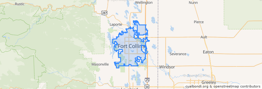
Fort Collins
Veja no mapa interativo
Rotas de transporte público
12 NB
14 EB
16 EB
18 SB
19 SB
32 Loop
33 EB
33 WB
34 NB
Paradas
Horsetooth & Caribou
Prospect and Cedarwood
Horsetooth & Manhattan
Elizabeth & Hillcrest
-105.13380020000001, 40.5761857
Shields & Elizabeth
Shields & Lake
Harmony & Regency
Route 32
Shields & Centre
Whedbee & Laurel
Horsetooth & Tradition
Elizabeth and Skyline
(Bus 31, 32, 33)
Shields & Elizabeth
Sharp Point Drive
-105.0915398, 40.576438800000005
Prospect & Overland
Overland and Wells Fargo
Harmony & Poudre Valley Hospital
Horsetooth & Lemay
Shields & Stuart
Prospect and Northbrook
-105.11620860000001, 40.574761200000005
Elizabeth & Glenmoor
College & Laporte
-105.09029050000001, 40.576429000000005
Harmony & Imperial
Elizabeth and King Soopers
Harmony & Boardwalk
Pontos de interesse
Taekwondo
Good Feet
Tony's
College Avenue Modern Dental
Mama Roni's Pizza
Ohana Bowls Acai Cafe
Cafe Bluebird
Shell
Cups Coffee Lounge
Toothzone
Great West Bank
Steven Tucker, DDS
El Burrito
Good Times
El Pueblito
Barking Beagle's Little Free Library
Subway
Vatos tacos & tequilla
Cafe Ardour
Pueblo Viejo
7-Eleven
Verus Bank of Commerce
Canyon Chop House
Subway
Dr. Brian Cox Dentistry
Little Saigon Cafe
Jim's Wings
ChargePoint
Dai Qi's Pizza
Cold Stone Creamery