Login
Usuarios estrella
Encuesta
Inicio
>
Estados Unidos de América
>
Iowa
>
Polk County
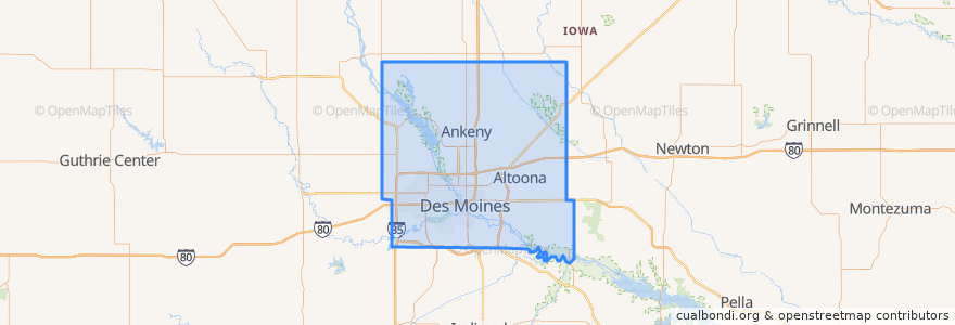
Polk County
Ver en mapa interactivo
Recorridos de transporte público
DART Flex Route 73 Urbandale/Windsor Heights Flex
DART Local Route 11 Ingersoll/Valley Junction
DART Local Route 13 Southeast Park Avenue
DART Local Route 15 6th Avenue
DART Local Route 60 Ingersoll/University
DART Shuttle Route 40 Link
DART Shuttle Route 42 D-Line Downtown Shuttle
Lugares
Alleman
(0)
Altoona
(0)
Ankeny
(0)
Bondurant
(0)
Elkhart
(0)
Johnston
(0)
Mitchellville
(0)
Pleasant Hill
(0)
Polk City
(0)
Runnells
(0)
Sheldahl
(0)
Windsor Heights
(0)
Paradas
Platform M
Platform I
Platform H
Platform K
Puntos de interés
Sheslow Auditorium
Bauder Pharmacy
Dairy Queen
The Lift
Red Monk
Grimes
Centro
QuikTrip
Alleman
Bicycle Rental
Buffalo Wild Wings
Windsor Heights
Paula's Cafe
Heartland Animal Hospital
Sarpino's Pizzeria
Mount Hebron Baptist Church
Panchero's
Saint Catherine of Siena
Suzy Q's Lounge
First Baptist Church Annex
Premier Credit Union
Mars Cafe
Royal Mile
Clive
Orange Leaf Frozen Yogurt
Splash Seafood Bar & Grill
Urbandale
United States Courthouse
Friendship Baptist Center
Firehouse Subs