Login
Star users
Poll
Home
>
United States
>
Indiana
>
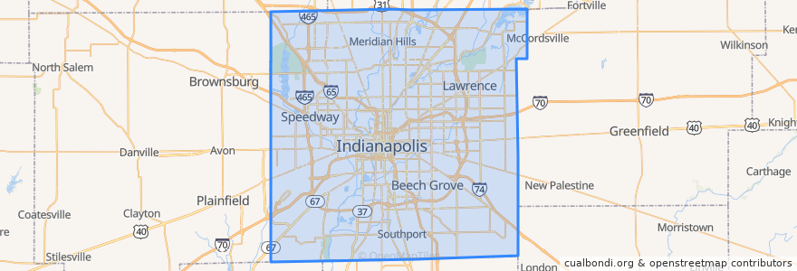
Indianapolis
Indianapolis
See in interactive map
Routes of public transport
IndyGo 55 English
IndyGo 5 East 25th Street
IndyGo 90 Red Line: Northbound
IndyGo 90 Red Line: Southbound
Stops
Broad Ripple Station
College Avenue & 52nd Street
College Avenue & 54th Street
-86.1542809, 39.768809600000004
Virginia Avenue & Woodlawn Street
College Avenue & 66th Street BRT
Virginia Avenue & Merrill Street SB
Broad Ripple Station
S
College Avenue & 54th Street
-86.153605, 39.769722900000005
College Avenue & Kessler Boulevard
College Avenue & 52nd Street
O
Virginia Avenue & New Jersey Street SB
College Avenue & Kessler Boulevard
Points of interest
Benjamin Harrison Elementary School
PNC
Mason Baptist Tabernacle
Forest Manor United Methodist Church
Merchant's Garage
Eastern Star Baptist Church
Subway
Speedway
Horizon Bank
Saint Bernadette School
Rock of Ages Baptist Church
Eastminster United Presbyterian Church
Rich Oil
Saint Rita Roman Catholic Church
East Side New Hope Baptist Church
Hop Cat
Indianapolis Fire Station 7
Pots and Pans Pie Company
Three Carrots
The Rathskeller
Binkley's
Starbucks
Provider
Upland College Avenue Tasting Room
BlueIndy
Bangkok Restaurant & Jazz Bar
Henry W Longfellow Junior High School
Twenty Sixth Street Church of God in Christ
English Ivy
Gold Bell Baptist Church