Ouverture de session
Utilisateurs étoile
Sondage
Accueil
>
États-Unis d'Amérique
>
Indiana
>
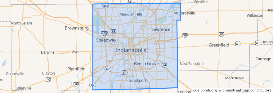
Indianapolis
Indianapolis
Voir sur la carte interactive
Itinéraires des transports publics
IndyGo 55 English
IndyGo 5 East 25th Street
IndyGo 90 Red Line: Northbound
IndyGo 90 Red Line: Southbound
Arrêts
College Avenue & 52nd Street
-86.153605, 39.769722900000005
College Avenue & 54th Street
College Avenue & Kessler Boulevard
Virginia Avenue & Woodlawn Street
O
Broad Ripple Station
Broad Ripple Station
College Avenue & 54th Street
S
Virginia Avenue & Merrill Street SB
Virginia Avenue & New Jersey Street SB
College Avenue & 66th Street BRT
-86.1542809, 39.768809600000004
College Avenue & Kessler Boulevard
College Avenue & 52nd Street
Points d'interêts
Benjamin Harrison Elementary School
Henry's Coffee Bistro
Three Carrots
Florence Fay Elementary School
Provider
Southport
Hot Box Pizza
Henry W Longfellow Junior High School
Au Bon Pain
Bru Burger Bar
The Rathskeller
Coat Check Coffee
Saffron Cafe
Jimmy John's
PNC Bank
Buffalo Wild Wings
Rook
Chipotle
Twenty Tap
Broad Ripple Post Office
Binkley's
Hoaglin To Go
Greek's Pizzeria
Irvington Circle Fountain
Lawrence
Faith Apostolic Mission
First Church of Christ Scientist
Good Hope Baptist Church
Sub-Zero Ice Cream & Yogurt
Subito