Login
Star users
Poll
Home
>
United States
>
Indiana
>
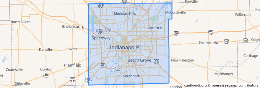
Indianapolis
Indianapolis
See in interactive map
Routes of public transport
IndyGo 55 English
IndyGo 5 East 25th Street
IndyGo 90 Red Line: Northbound
IndyGo 90 Red Line: Southbound
Stops
Broad Ripple Station
College Avenue & 52nd Street
-86.153605, 39.769722900000005
Virginia Avenue & Merrill Street SB
Virginia Avenue & New Jersey Street SB
College Avenue & 52nd Street
College Avenue & 54th Street
Virginia Avenue & Woodlawn Street
-86.1542809, 39.768809600000004
S
College Avenue & Kessler Boulevard
College Avenue & 66th Street BRT
College Avenue & Kessler Boulevard
O
Broad Ripple Station
College Avenue & 54th Street
Points of interest
Root & Bone
Cornerstone
George B Loomis Elementary School
Commissary Barber & Barista
Unity Baptist Fellowship Church
The Nook by Northside
BlueIndy: 4937 North College Avenue
Starbucks
Indiana Members Credit Union
Abyssinian Baptist Church
Nine Irish Brothers
CVS Pharmacy
Horizon Bank
Depew Memorial Fountain
Bangkok Restaurant & Jazz Bar
Crows Nest
Benjamin Harrison Elementary School
Subito
Canal Bistro
Lowell School Number 51
Hazel Hart Hendricks Elementary School
Buffalo Wild Wings
Calvin Fletcher Coffee
Brightwood Station Indianapolis Post Office
Papa John's
Brightwood Branch Indianapolis-Marion County Public Library
Joy of All Who Sorrow Orthodox Christian Church
Moe and Johnny's
Starbucks
Starbucks