로그인
스타 사용자
투표
홈페이지
>
미국
>
인디애나 주
>
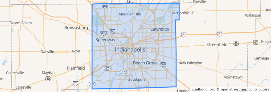
Indianapolis
Indianapolis
대화식지도에서보기
대중 교통 경로
IndyGo 55 English
IndyGo 5 East 25th Street
IndyGo 90 Red Line: Northbound
IndyGo 90 Red Line: Southbound
버스 정류장
Virginia Avenue & Woodlawn Street
College Avenue & 66th Street BRT
-86.1542809, 39.768809600000004
Virginia Avenue & New Jersey Street SB
Virginia Avenue & Merrill Street SB
College Avenue & 52nd Street
College Avenue & 52nd Street
-86.153605, 39.769722900000005
College Avenue & 54th Street
College Avenue & Kessler Boulevard
O
College Avenue & 54th Street
College Avenue & Kessler Boulevard
S
Broad Ripple Station
Broad Ripple Station
가볼만한 곳
PNC
Au Bon Pain
Meadowlawn Christian Church
Forest Manor United Methodist Church
인디애나 주
Church of God in Christ
Monon Coffee Company
Sushi Bar
Greater Canaan Baptist Church
Zion Hill Missionary Baptist Church
Fat Dan's
Starbucks
Our Lady of Lourdes School
Sam's Gyros
New Bethel Baptist Church
Mount Zion Church of God in Christ
Williams Creek
Gold Bell Baptist Church
Taste Café & Marketplace
Pizzology
Soupremacy
Holy Spirit Roman Catholic Church
Holy Spirit School
Three Carrots
Public Greens
Lowell School Number 51
Saint John African Methodist Episcopal Church
PNC Bank
Nine Irish Brothers
CVS Pharmacy