Accesso
Utenti preferiti
Sondaggio
Homepage
>
Stati Uniti d'America
>
Indiana
>
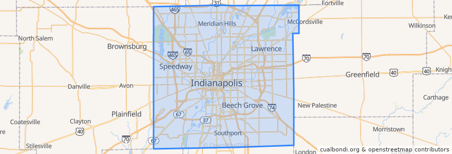
Indianapolis
Indianapolis
Visualizza nella mappa interattiva
Percorsi di trasporto pubblico
IndyGo 55 English
IndyGo 5 East 25th Street
IndyGo 90 Red Line: Northbound
IndyGo 90 Red Line: Southbound
Fermate
College Avenue & Kessler Boulevard
College Avenue & 52nd Street
Broad Ripple Station
-86.153605, 39.769722900000005
Virginia Avenue & Merrill Street SB
College Avenue & 54th Street
College Avenue & 52nd Street
Virginia Avenue & New Jersey Street SB
O
College Avenue & 66th Street BRT
College Avenue & 54th Street
-86.1542809, 39.768809600000004
College Avenue & Kessler Boulevard
S
Broad Ripple Station
Virginia Avenue & Woodlawn Street
Punti di interesse
Iaria's
Indiana Pacers Bikeshare
North Crows Nest
Indiana University Regional Campus
HoiTea ToiTea Indianapolis
City Cafe
Forest Manor United Methodist Church
Abyssinian Baptist Church
Rock of Ages Baptist Church
Comida
Perk Up
BMO Harris Bank
First Church of Christ Scientist
BlueIndy: 685 East 52nd Street
Clermont
Mount Zion Church of God in Christ
Starbucks
Northside Kitchenette
College Avenue Baptist Church
Moe and Johnny's
Beech Grove
Brothers Bar and Grill
Mount Calvary Baptist Church
Subito
Twenty Tap
Provider
Old Point Tavern
Mason Baptist Tabernacle
Hubbard & Cravens Coffee and Tea
Twenty Sixth Street Church of God in Christ