Login
Star users
Poll
Home
>
United States
>
Indiana
>
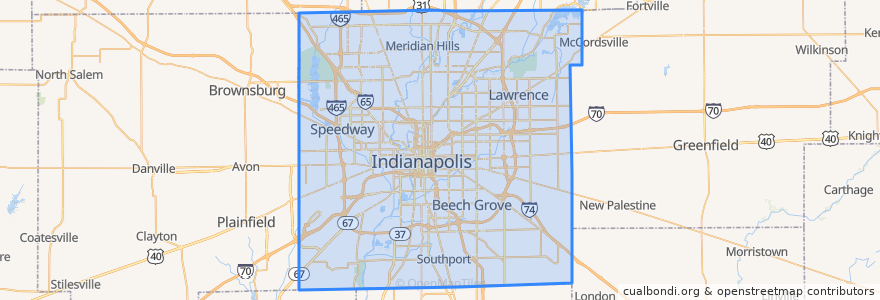
Indianapolis
Indianapolis
See in interactive map
Routes of public transport
IndyGo 55 English
IndyGo 5 East 25th Street
IndyGo 90 Red Line: Northbound
IndyGo 90 Red Line: Southbound
Stops
Virginia Avenue & Merrill Street SB
Broad Ripple Station
College Avenue & 66th Street BRT
Broad Ripple Station
College Avenue & Kessler Boulevard
-86.1542809, 39.768809600000004
College Avenue & Kessler Boulevard
College Avenue & 52nd Street
-86.153605, 39.769722900000005
Virginia Avenue & Woodlawn Street
Virginia Avenue & New Jersey Street SB
College Avenue & 52nd Street
S
O
College Avenue & 54th Street
College Avenue & 54th Street
Points of interest
Gethsemane Lutheran Church
Saint Agnes Academy
Full Gospel Deliverance Church
Bethel Pentecostal Tabernacle
Joy of All Who Sorrow Orthodox Christian Church
Unity Baptist Fellowship Church
Eastminster United Presbyterian Church
The Eagle
Walgreens
Rocky Ripple
Giorgio's Pizza
Red Key Tavern
Old Land Mark House of Prayer
Perk Up
Tortas Guicho Dominguez y El Cubanito
Trinity Christian Methodist Episcopal Church
Williams Creek
Au Bon Pain
Bakersfield
Saint Rita Roman Catholic Church
Indiana
Village Montessori School
Latin School
Axum
Saint John African Methodist Episcopal Church
Hoaglin To Go
Ambrosia
Saint John Missionary Baptist Church
Saint Bernadette Roman Catholic Church
Hard Rock Cafe