Conecte-se
Usuários estrela
Pesquisa
Início
>
Estados Unidos da América
>
Indiana
>
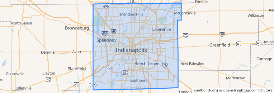
Indianapolis
Indianapolis
Veja no mapa interativo
Rotas de transporte público
IndyGo 55 English
IndyGo 5 East 25th Street
IndyGo 90 Red Line: Northbound
IndyGo 90 Red Line: Southbound
Paradas
College Avenue & 52nd Street
Broad Ripple Station
College Avenue & 54th Street
O
College Avenue & 52nd Street
S
Broad Ripple Station
College Avenue & 66th Street BRT
College Avenue & 54th Street
-86.1542809, 39.768809600000004
College Avenue & Kessler Boulevard
-86.153605, 39.769722900000005
College Avenue & Kessler Boulevard
Virginia Avenue & Woodlawn Street
Virginia Avenue & Merrill Street SB
Virginia Avenue & New Jersey Street SB
Pontos de interesse
Galilee Baptist Church
George B Loomis Elementary School
India Garden Restaurant
Indiana Members Credit Union
Saint John Missionary Baptist Church
HoiTea ToiTea Indianapolis
Cornerstone
Hard Rock Cafe
Starbucks
Indianapolis Fire Station 7
Twenty Sixth Street Church of God in Christ
PNC Bank
Williams Creek
The National Bank of Indianapolis
Good Hope Baptist Church
Commissary Barber & Barista
Ravenbrook Widow Baptist Church
Unity Baptist Fellowship Church
Trinity Christian Methodist Episcopal Church
Tortas Guicho Dominguez y El Cubanito
Indianapolis
Pots and Pans Pie Company
Latin School
BMO Harris Bank
Milktooth
Shiloh Baptist Church
Axum
Hazel Hart Hendricks Elementary School
Village Montessori School
Saint Andrew the Apostle School