Log masuk
Pengguna bintang
Undian
Laman utama
>
Amerika Syarikat
>
Indiana
>
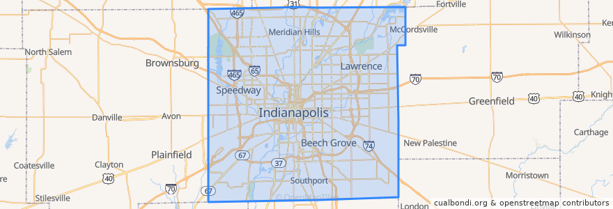
Indianapolis
Indianapolis
Lihat di peta interaktif
Laluan pengangkutan awam
IndyGo 55 English
IndyGo 5 East 25th Street
IndyGo 90 Red Line: Northbound
IndyGo 90 Red Line: Southbound
Perhentian
Virginia Avenue & Woodlawn Street
O
Virginia Avenue & New Jersey Street SB
College Avenue & Kessler Boulevard
College Avenue & 52nd Street
S
-86.1542809, 39.768809600000004
College Avenue & 52nd Street
Virginia Avenue & Merrill Street SB
Broad Ripple Station
College Avenue & 66th Street BRT
Broad Ripple Station
College Avenue & Kessler Boulevard
College Avenue & 54th Street
College Avenue & 54th Street
-86.153605, 39.769722900000005
Tempat menarik
Indiana
East Side New Hope Baptist Church
Gethsemane Lutheran Church
First Church of Christ Scientist
Church of God in Christ
Faith Apostolic Mission
CVS Pharmacy
Chipotle
Commissary Barber & Barista
Pots and Pans Pie Company
Binkley's
Indianapolis Fire Station 10
Eastside Seventh Day Adventist Church
Williams Creek
Village Montessori School
The National Bank of Indianapolis
Saint Marys School
Fogo de Chao
Gold Bell Baptist Church
Papa John's
Triumph Holiness Church
Redeemer Presbyterian Church (PCA)
Full Gospel Deliverance Church
Eastern Star Baptist Church
Saint Paul African Methodist Episcopal Church
Merchant's Garage
Fire by the Monon
Ambrosia
Fat Dan's
Circle City Station Indianapolis Post Office