Login
Star users
Poll
Home
>
United States
>
California
>
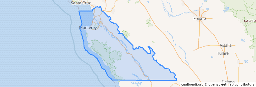
Monterey County
Monterey County
See in interactive map
Routes of public transport
3 Monterey
55 Monterey – San Jose Express
55 San Jose Express - Monterey
94 Sand City
Jazz A Sand City
Places
Monterey
(5)
Marina
(2)
Sand City
(2)
Seaside
(2)
Carmel-by-the-Sea
(1)
Del Rey Oaks
(0)
Gonzales
(0)
Gonzales
(0)
Greenfield
(0)
King City
(0)
King City
(0)
King City
(0)
Monterey
(0)
Pacific Grove
(0)
Salinas
(0)
Soledad
(0)
Soledad
(0)
Soledad
(0)
Soledad
(0)
Stops
Monterey Bay Aquarium & Irving
Points of interest
Hula's Island Grill
Rabobank
Epsilon
La Tapatia
Subway
Cypress Continuation High School
El Palomar Monterey
Starbucks
Starbucks
Seaside
King City
Friar Tucks Restaurant
Katy's Place
Il Fornaio
Pacific Grove
Starbucks
Kula Ranch Steakhouse
Monterey County
Chopsti Restaurant
Bethel Baptist Church
Hanabi Japanese Restaurant
Mountain Mike's
Castroville Branch Monterey County Free Libraries
Cibo Ristorante Italiano
Flahertys
Round Table
Chinese & American Cuisine
Sand City Station
Alfonso's Authentic Mexican Food
California Pizza Kitchen