Login
Star users
Poll
Home
>
United States
>
California
>
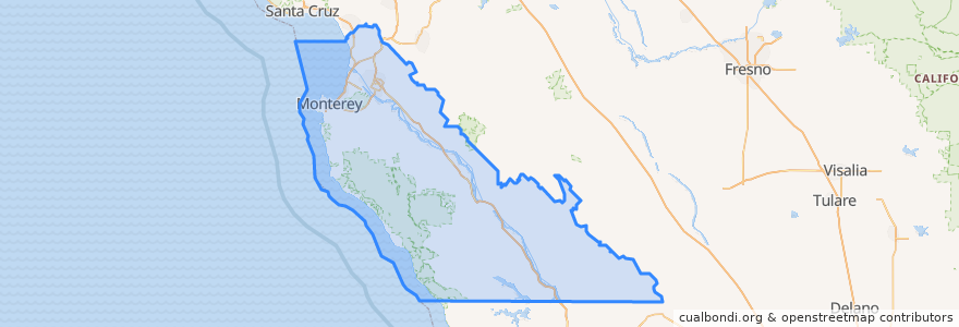
Monterey County
Monterey County
See in interactive map
Routes of public transport
3 Monterey
55 Monterey – San Jose Express
55 San Jose Express - Monterey
94 Sand City
Jazz A Sand City
Places
Monterey
(5)
Marina
(2)
Sand City
(2)
Seaside
(2)
Carmel-by-the-Sea
(1)
Del Rey Oaks
(0)
Gonzales
(0)
Gonzales
(0)
Greenfield
(0)
King City
(0)
King City
(0)
King City
(0)
Monterey
(0)
Pacific Grove
(0)
Salinas
(0)
Soledad
(0)
Soledad
(0)
Soledad
(0)
Soledad
(0)
Stops
Monterey Bay Aquarium & Irving
Points of interest
paluca trattoria
Monterey Budokan Martial Arts Academy
Menchie's
Starbucks
Lallapalooza
Monterey County
Five Guys
Toribashi
Church of Christ
mall restrooms
Monterey Assembly of God Church
Cafe Lumiere
Unitarian Universalist Church of the Monterey Peninsula
The Carmel Coffee House
Old Fishermen's Grotto
Gonzales
King City
Templo El Aposento Alto Asambleas De Dios
Ocean Sushi
Saint Timothy Lutheran Church
Denny's
Mariscos
Nestle Toll House
Panera Bread
Round Table Pizza
Ferdi's
Chevron
The Bagel Bakery
Osio Cinemas
Soledad