Conecte-se
Usuários estrela
Pesquisa
Início
>
Estados Unidos da América
>
Califórnia
>
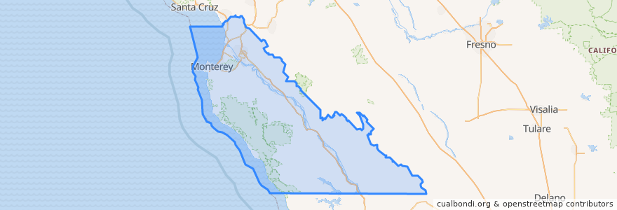
Monterey County
Monterey County
Veja no mapa interativo
Rotas de transporte público
3 Monterey
55 Monterey – San Jose Express
55 San Jose Express - Monterey
94 Sand City
Jazz A Sand City
Lugares
Monterey
(5)
Marina
(2)
Sand City
(2)
Seaside
(2)
Carmel-by-the-Sea
(1)
Del Rey Oaks
(0)
Gonzales
(0)
Gonzales
(0)
Greenfield
(0)
King City
(0)
King City
(0)
King City
(0)
Monterey
(0)
Pacific Grove
(0)
Salinas
(0)
Soledad
(0)
Soledad
(0)
Soledad
(0)
Soledad
(0)
Paradas
Monterey Bay Aquarium & Irving
Pontos de interesse
Cantinetta Luca
Five Guys
Bethlehem Lutheran Church of Monterey
Church of God
Enchanted Angels Church
Bethel Baptist Church
McDonald's
Plumes
Round Table
Nifty 50 Cafe
King City
Kula Ranch Steakhouse
360 Health Cafe
Arco
Carmel Police Dept
Blaze Pizza
Church of Christ
London Bridge Pub
Patio Drive In
Del Monte Cafe
Saffron
Chipotle
Britannia Arms
Church of the Wayfarer
Sarita's
Ocean Sushi
Castroville Japanese Language School
Paris Bakery
Barnet J Segal Building Library
The Habit Burger Grill