로그인
스타 사용자
투표
홈페이지
>
미국
>
캘리포니아주
>
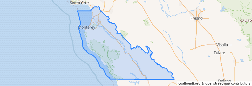
Monterey County
Monterey County
대화식지도에서보기
대중 교통 경로
3 Monterey
55 Monterey – San Jose Express
55 San Jose Express - Monterey
94 Sand City
Jazz A Sand City
장소
Monterey
(5)
Marina
(2)
Sand City
(2)
Seaside
(2)
Carmel-by-the-Sea
(1)
Del Rey Oaks
(0)
Gonzales
(0)
Gonzales
(0)
Greenfield
(0)
King City
(0)
King City
(0)
King City
(0)
Monterey
(0)
Pacific Grove
(0)
Salinas
(0)
Soledad
(0)
Soledad
(0)
Soledad
(0)
Soledad
(0)
버스 정류장
Monterey Bay Aquarium & Irving
가볼만한 곳
Round Table
ChargePoint
Persian Grill
Cafe Lumiere
US Naval Postgraduate School
Maha Cuisine
London Bridge Pub
Church of God
Carmel by the Sea City Hall
ChargePoint
Treehouse Cafe
Chevron
Building Bridges Ministry;Christian Memorial Church of God in Christ
Britannia Arms
Dametra Fresh Mediterranean
Crown & Anchor
Monterey United Methodist Church
Church of the Wayfarer
Lalla Oceanside Grill
Saffron
Del Rey Oaks
Blink
Sarita's
Marina
Carmel Valley Roasting Company
Dametra Cafe
Cooper's Pub & Restaurant
Starbucks
Il Fornaio
Monterey Transit Plaza