وارد شدن
کاربران ستاره
نظرسنجی
شروع
>
ایالات متحده آمریکا
>
کالیفرنیا
>
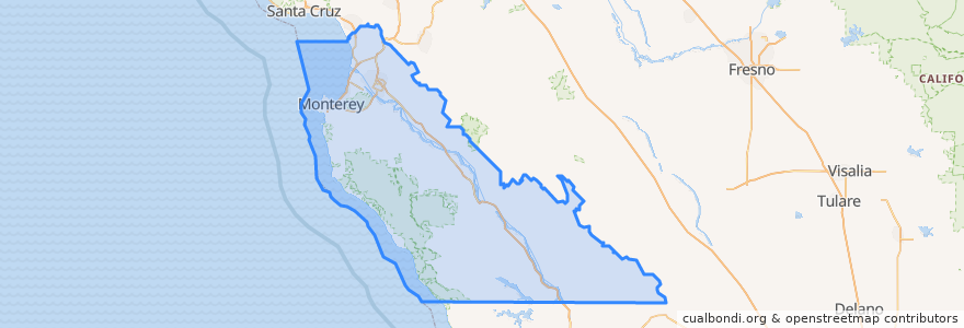
Monterey County
Monterey County
در نقشه تعاملی مشاهده کنید
مسیرهای حمل و نقل عمومی
3 Monterey
55 Monterey – San Jose Express
55 San Jose Express - Monterey
94 Sand City
Jazz A Sand City
اماکن
Monterey
(5)
Marina
(2)
Sand City
(2)
Seaside
(2)
Carmel-by-the-Sea
(1)
Del Rey Oaks
(0)
Gonzales
(0)
Gonzales
(0)
Greenfield
(0)
King City
(0)
King City
(0)
King City
(0)
Monterey
(0)
Pacific Grove
(0)
Salinas
(0)
Soledad
(0)
Soledad
(0)
Soledad
(0)
Soledad
(0)
ایستگاه
Monterey Bay Aquarium & Irving
نقاط مورد علاقه
Greenfield
First Awakenings
USA Gasoline
Yeast of Eden Mixed Fermentation Brewery
Soledad
ComericA Bank
Jose's Mexican Food
Federal Credit Union
King City
Old Fishermen's Grotto
Rod & Ros
Carmel Belle
Subway
Epsilon
Treehouse Cafe
Carmel Presbyterian Church
English Ales Brewery
Dametra
Monterey Budokan Martial Arts Academy
La Fortuna Bakery
Dust Bowl Brewing Company Tap Depot
Gonzales
Round Table Pizza
Marina City Hall
Dametra Cafe
Calvary Baptist Church
La Bicyclette
Barrera's Mexican Grill
Priscilla Fairfield Bok Library
CAL FIRE Station Carmel Hill