Anmelden
Star-Benutzer
Umfrage
Startseite
>
Vereinigte Staaten von Amerika
>
Kalifornien
>
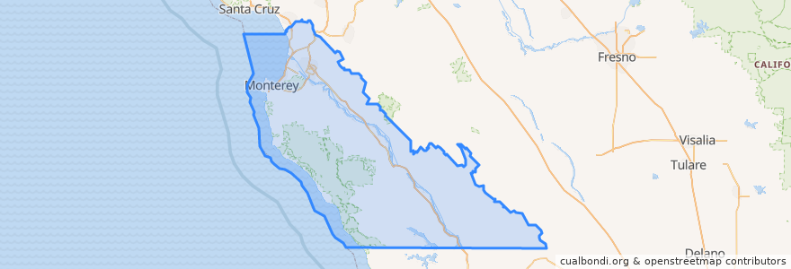
Monterey County
Monterey County
Siehe in der interaktiven Karte
Routen des öffentlichen Verkehrs
3 Monterey
55 Monterey – San Jose Express
55 San Jose Express - Monterey
94 Sand City
Jazz A Sand City
Orte
Monterey
(5)
Marina
(2)
Sand City
(2)
Seaside
(2)
Carmel-by-the-Sea
(1)
Del Rey Oaks
(0)
Gonzales
(0)
Gonzales
(0)
Greenfield
(0)
King City
(0)
King City
(0)
King City
(0)
Monterey
(0)
Pacific Grove
(0)
Salinas
(0)
Soledad
(0)
Soledad
(0)
Soledad
(0)
Soledad
(0)
Haltestellen
Monterey Bay Aquarium & Irving
Sehenswürdigkeiten
Turtle Bay Taqueria
ComericA Bank
La Fortuna Bakery
Yeast of Eden Mixed Fermentation Brewery
Monterey’s Fish House
Cantinetta Luca
ChargePoint
Monterey Transit Plaza
King City
Bank of the West
Chopsti Restaurant
the C restaurant + bar
Blink
King City
Ambrosia India Bistro
Monterey Budokan Martial Arts Academy
Pine Inn Public Restroom
Cannery Pizza Company
California Pizza Kitchen
Dametra Cafe
The Carmel Coffee House
Katy's Place
Dickey's Barbecue Pit
Erik's DeliCafé
Starbucks
Royal Presidio Chapel, San Carlos Cathedral
Arco
Islands Fine Burgers & Drinks
Templo El Aposento Alto Asambleas De Dios
English Ales Brewery