Ouverture de session
Utilisateurs étoile
Sondage
Accueil
>
États-Unis d'Amérique
>
Californie
>
Monterey County
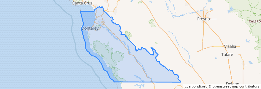
Monterey County
Voir sur la carte interactive
Itinéraires des transports publics
3 Monterey
55 Monterey – San Jose Express
55 San Jose Express - Monterey
94 Sand City
Jazz A Sand City
Endroits
Monterey
(5)
Marina
(2)
Sand City
(2)
Seaside
(2)
Carmel-by-the-Sea
(1)
Del Rey Oaks
(0)
Gonzales
(0)
Gonzales
(0)
Greenfield
(0)
King City
(0)
King City
(0)
King City
(0)
Monterey
(0)
Pacific Grove
(0)
Salinas
(0)
Soledad
(0)
Soledad
(0)
Soledad
(0)
Soledad
(0)
Arrêts
Monterey Bay Aquarium & Irving
Points d'interêts
US Naval Postgraduate School
Church of God
Erik's DeliCafé
Dametra Fresh Mediterranean
Full Moon
Ferdi's
Pacific Grove
Wells Fargo
Dickey's Barbecue Pit
Menchie's
Subway
Saffron
the C restaurant + bar
Sarita's
Chipotle
mall restrooms
Union Bank of California
jamba juice
Central Coast Allergy & Asthma
Carmel Valley Roasting Company
Chevron
360 Health Cafe
The Mailbox
Happy Girl Kitchen
Carmel Ballet Academy
Monterey United Methodist Church
Pine Inn Public Restroom
The Carmel Coffee House
Rod & Ros
Chinese & American Cuisine