Login
Star users
Poll
Home
>
United States
>
California
>
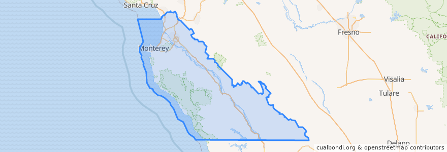
Monterey County
Monterey County
See in interactive map
Routes of public transport
3 Monterey
55 Monterey – San Jose Express
55 San Jose Express - Monterey
94 Sand City
Jazz A Sand City
Places
Monterey
(5)
Marina
(2)
Sand City
(2)
Seaside
(2)
Carmel-by-the-Sea
(1)
Del Rey Oaks
(0)
Gonzales
(0)
Gonzales
(0)
Greenfield
(0)
King City
(0)
King City
(0)
King City
(0)
Monterey
(0)
Pacific Grove
(0)
Salinas
(0)
Soledad
(0)
Soledad
(0)
Soledad
(0)
Soledad
(0)
Stops
Monterey Bay Aquarium & Irving
Points of interest
English Ales Brewery
El Canatro - Vegan Mexican Food
Round Table Pizza
Crazy Horse Restaurant
Pacific Grove
McDonald's
Menchie's
Bulldog Irish Pub
Chinese & American Cuisine
Valero
Hays Christian Methodist Episcopal Church
Johnny Rockets
Mediteraen
First Church of Christ Scientist
Round Table
Cantinetta Luca
MYO Frozen Yogurt
Ferdi's
Church of God
Papa Chevo's Taco Shop
jamba juice
Dametra
King City
Sand City City Hall
Chevron
Century Theatres
Saffron
Bethel Baptist Church
Ocean Sushi
Church of Christ