Login
Star users
Poll
Home
>
United States
>
Kansas
>
Johnson County
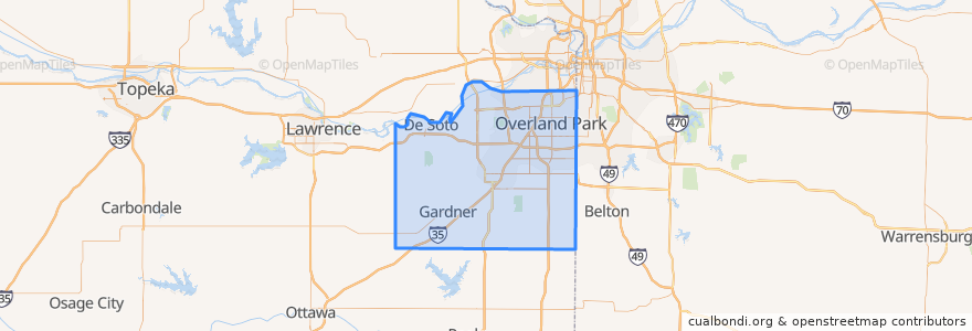
Johnson County
See in interactive map
Routes of public transport
Route 510: Eastbound
Route 510: Westbound
Places
De Soto
(2)
Lenexa
(2)
Overland Park
(2)
Olathe
(1)
Edgerton
(0)
Fairway
(0)
Gardner
(0)
Lake Quivira
(0)
Leawood
(0)
Merriam
(0)
Mission
(0)
Mission Hills
(0)
Prairie Village
(0)
Roeland Park
(0)
Shawnee
(0)
Westwood
(0)
Points of interest
Burger King
Subway
LaMar's Donuts
Subway
Bee Cee's Authentic BBQ
Olathe
Lenexa
Sawasdee Thai Cuisine
Old Shawnee Pizza
Overland Park
Pizza Hut
Westwood Hills
Shawnee
Harps Express
$5 Car Wash
Billington Library (LIB)
Westwood
Western Union
Edgerton
The Rub Bar-B-Que & Catering
Tequila Harry's
Leawood
Scooters Coffee Shop
Merriam
Salty Iguana
Johnson County
Nan Jing Restaurant
College Boulevard Animal Hospital
Mission Hills
Ricco's Italian Bistro