وارد شدن
کاربران ستاره
نظرسنجی
شروع
>
ایالات متحده آمریکا
>
کانزاس
>
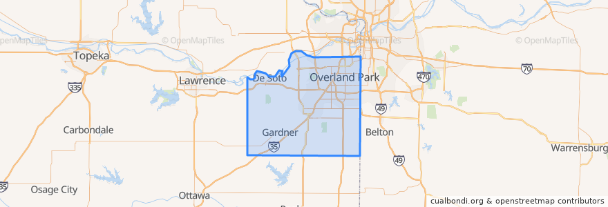
Johnson County
Johnson County
در نقشه تعاملی مشاهده کنید
مسیرهای حمل و نقل عمومی
Route 510: Eastbound
Route 510: Westbound
اماکن
De Soto
(2)
Lenexa
(2)
Overland Park
(2)
Olathe
(1)
Edgerton
(0)
Fairway
(0)
Gardner
(0)
Lake Quivira
(0)
Leawood
(0)
Merriam
(0)
Mission
(0)
Mission Hills
(0)
Prairie Village
(0)
Roeland Park
(0)
Shawnee
(0)
Westwood
(0)
نقاط مورد علاقه
Spring Hill
Greek Cuisine
Sawasdee Thai Cuisine
Kansas District of the Wesleyan Church
Johnson County
Overland Park
Mission Hills
Edgerton
Shawnee
Subway
Leawood
Scooters Coffee Shop
Olathe
Wendy's
Domino's Pizza
Merriam
Gardner
Billington Library (LIB)
Barley's Brewhaus
Bee Cee's Authentic BBQ
Salty Iguana
De Soto
Phillips 66
$5 Car Wash
Lenexa
Gert's Grille
Nan Jing Restaurant
Twisted
Prairie Village
The Wooden Spoon