로그인
스타 사용자
투표
홈페이지
>
미국
>
캔자스
>
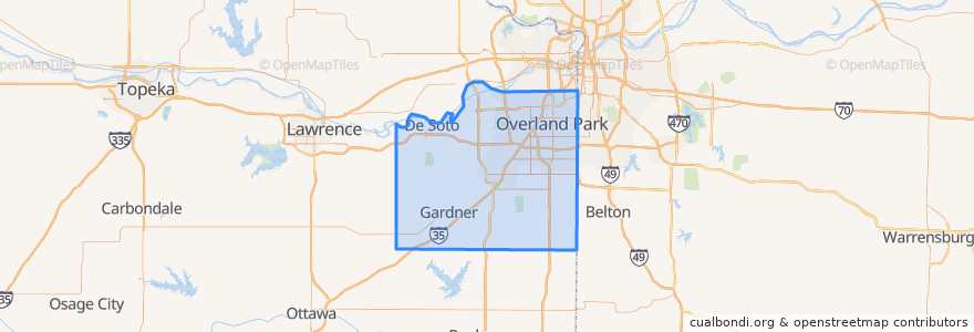
Johnson County
Johnson County
대화식지도에서보기
대중 교통 경로
Route 510: Eastbound
Route 510: Westbound
장소
De Soto
(2)
Lenexa
(2)
Overland Park
(2)
Olathe
(1)
Edgerton
(0)
Fairway
(0)
Gardner
(0)
Lake Quivira
(0)
Leawood
(0)
Merriam
(0)
Mission
(0)
Mission Hills
(0)
Prairie Village
(0)
Roeland Park
(0)
Shawnee
(0)
Westwood
(0)
가볼만한 곳
The Rub Bar-B-Que & Catering
Wendy's
Brookwood Elementary School
Spring Hill
Western Union
Pizza Hut
Scooters Coffee Shop
Burger King
Gert's Grille
$5 Car Wash
Overland Park
Shawnee
Nan Jing Restaurant
Lenexa
Subway
Merriam
Leawood
Sarpino's
Fairway
Salty Iguana
Minit Mart #603
Roeland Park
Phillips 66
LaMar's Donuts
Subway
Twisted
Billington Library (LIB)
Edgerton
Sawasdee Thai Cuisine
Harps Express